FireSat: Google’s Advanced Satellite Revolutionizes Wildfire Detection
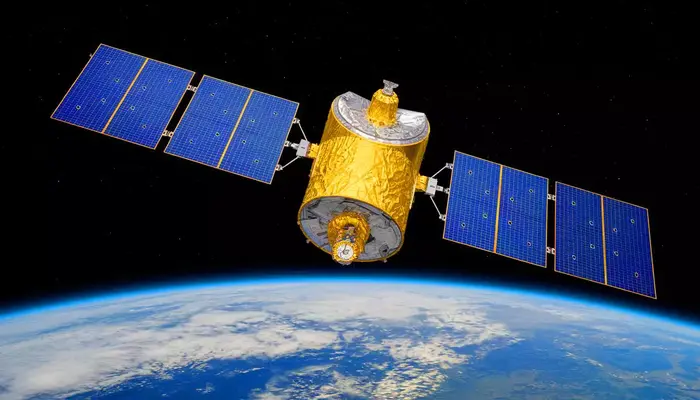
FireSat, a groundbreaking satellite constellation, is set to transform wildfire detection and management worldwide. Launched by the Earth Fire Alliance in collaboration with Google and Muon Space, this advanced system uses high-resolution infrared cameras and AI-powered analysis to detect and track wildfires with unprecedented speed and accuracy. As climate change fuels more frequent and intense fires, FireSat offers a powerful solution to protect communities, ecosystems, and economies.
Faster, More Accurate Wildfire Detection
Traditional satellite systems struggle with wildfire detection due to low-resolution imaging and infrequent updates, often spotting fires only twice a day. In contrast, FireSat provides updates every 20 minutes, dramatically improving response times.
Equipped with multispectral infrared cameras, FireSat can detect fires as small as 270 square feet, identifying them much earlier than conventional systems. AI-powered algorithms analyze satellite images, filtering out false alarms like industrial smokestacks and improving detection accuracy. This technology allows emergency responders to react swiftly, minimizing fire spread and damage.
Read: NASA Astronauts Finally Return After Nine Months on ISS
Earth Fire Alliance: A Collaborative Effort
The Earth Fire Alliance, a nonprofit organization, leads this ambitious project with support from Google and Muon Space. Their goal is to create a global wildfire monitoring network, ensuring rapid detection and intervention.
By 2030, the FireSat network will expand to over 50 satellites, covering every wildfire-prone region worldwide. The initiative highlights how partnerships between technology giants and space startups can address major environmental challenges.
How AI Enhances Fire Prediction
FireSat’s AI-powered detection system analyzes real-time satellite images and compares them with historical data to identify anomalies. This capability not only helps detect fires but also predicts their spread, enabling firefighters to deploy resources more effectively.
For instance, if a fire is detected in a high-risk zone, the system can estimate its movement based on wind speed, humidity, and terrain conditions. This information allows authorities to issue early evacuation warnings and take preventative measures to protect communities.
Reducing Economic and Environmental Damage
Wildfires cause massive financial losses, with damages in places like Los Angeles reaching over $250 billion earlier this year. Beyond property destruction, fires also increase insurance costs, disrupt economies, and worsen air quality, leading to severe health impacts.
FireSat’s rapid response capabilities can reduce these costs by preventing fires from escalating. Additionally, by protecting forested areas, the system helps preserve biodiversity, carbon storage, and essential ecosystems.
Shaping the Future of Wildfire Management
With FireSat now operational, authorities have an unprecedented tool to combat wildfires. As more satellites join the network, early detection and predictive analysis will become even more precise, significantly reducing fire-related devastation.
The question now is: How will governments and emergency agencies integrate this technology to strengthen wildfire prevention and response efforts?
Follow us on Google News, Instagram, YouTube, Facebook,Whats App, and TikTok for latest updates